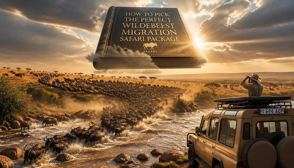
Why the Serengeti Plain on a Map Matters for Planning a Migration Safari
- wildebeestsighting
- Jan 21
- 3 min read

Planning a Great Migration safari is not just about choosing dates or lodges—it starts with understanding the Serengeti Plain on a map. The Serengeti is vast, dynamic, and constantly changing with the seasons. By studying where the plains, rivers, and borders lie, travelers can dramatically improve their chances of witnessing iconic moments like wildebeest calving, predator action, and dramatic river crossings.
This guide explains why the Serengeti Plain on a map is such a powerful planning tool and how it helps you make smarter safari decisions.

Understanding the Scale of the Serengeti Plain
The Serengeti Plain stretches across northern Tanzania and connects seamlessly with the Masai Mara in Kenya. When you look at the Serengeti Plain on a map, one thing becomes immediately clear: this ecosystem is enormous.
The Serengeti covers more than 14,700 square kilometers
Habitats range from open grasslands to woodlands and riverine forests
Wildlife movements are spread across hundreds of miles
Without a map, it’s easy to underestimate distances and end up in the wrong area at the wrong time.
How the Serengeti Plain on a Map Explains Migration Movement
The Great Migration is driven by rainfall and fresh grass growth. A map of the Serengeti Plain reveals how herds move in a circular pattern rather than a straight line.
Seasonal Insights You Can See on a Map
Southern plains: Calving season (January–March)
Central Serengeti: Transition and predator activity (April–June)
Western corridor: Grumeti River crossings (May–July)
Northern Serengeti: Mara River crossings (July–October)
Seeing the Serengeti Plain on a map helps you match your travel dates with the correct safari region, avoiding guesswork.
Choosing the Right Safari Camps and Lodges
Safari camps are not evenly spread across the Serengeti. When you study the Serengeti Plain on a map, you can:
Identify camps close to migration routes
Avoid lodges far from current wildlife concentrations
Understand drive times between airstrips and camps
For example, booking a lodge in the southern plains during August would likely result in fewer sightings, while northern camps thrive during that period.
Rivers and Natural Barriers Matter More Than You Think
Maps highlight key rivers such as the Grumeti and Mara, which play a crucial role in migration drama. These rivers act as natural choke points where:
Crocodile attacks are common
Herds gather in massive numbers
Predators wait for weakened animals
Understanding where these rivers sit on the Serengeti Plain on a map helps travelers prioritize areas known for intense wildlife action.
Border Awareness: Serengeti vs. Masai Mara
Many first-time safari-goers assume the migration happens in one park. A map clearly shows that the ecosystem crosses an international border between Serengeti National Park and the Masai Mara.
Why this matters:
Visa and park fees differ by country
Crossing borders during a safari is not automatic
Some months favor Tanzania, others favor Kenya
Without understanding this geographic layout, travelers may book the wrong destination for their chosen month.
Better Budgeting and Time Management
Looking at the Serengeti Plain on a map also helps with practical planning:
Shorter drives mean more time on game drives
Strategic flight routing reduces costs
Staying mobile within one region can save money
A well-planned map-based itinerary often delivers better sightings and a smoother travel experience.
Ideal for First-Time Safari Travelers
For first-time visitors, Africa’s scale can be overwhelming. Studying the Serengeti Plain on a map provides clarity by showing:
Where wildlife concentrates seasonally
How landscapes change across the ecosystem
Why guides recommend specific regions at specific times
This knowledge turns a safari from a gamble into a carefully timed adventure.
Final Thoughts
Understanding the Serengeti Plain on a map is one of the most underrated steps in planning a successful migration safari. It connects seasons with locations, wildlife behavior with geography, and expectations with reality. Whether you’re aiming for calving season in the south or river crossings in the north, the map is your blueprint for an unforgettable safari.

Comments