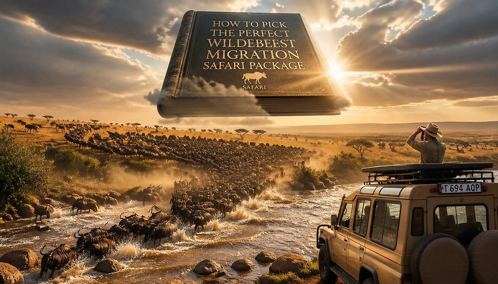
From Ndutu to the Mara: Tracing the Migration Route on a Map
- wildebeestsighting
- Feb 6
- 3 min read

Understanding the Migration Route Overview
The Great Migration follows a vast and dynamic route shaped by rainfall, grazing conditions, and survival instincts. Millions of wildebeest and zebras move steadily from southern calving grounds to northern river systems. This journey connects multiple ecosystems into one living corridor. Tracing this movement on a map helps readers visualize how wildlife responds to seasonal change and why the route never remains perfectly fixed year after year.
Ndutu: The Starting Point of the Cycle
The migration cycle begins in the Ndutu region of Ngorongoro Conservation Area. Open plains, short grasses, and mineral-rich soil create ideal calving conditions. Thousands of calves are born here within weeks, strengthening herd survival. When viewed on a map, Ndutu appears as the southern anchor of the journey, setting the stage for months of continuous movement.
Southern Serengeti and Early Movement
As grasses thin in Ndutu, herds drift into the southern Serengeti. This region acts as a transition zone where animals regroup and begin directional movement. Mapping this area shows gradual northward flow rather than sudden relocation. Understanding this phase helps explain how migration relies on steady progression instead of abrupt travel.
Visualizing the Serengeti Plains on a Map
The central plains form the heart of the migration route. When travelers study the Serengeti Plain on a map, they see vast open grasslands that support massive grazing pressure. These plains serve as feeding corridors rather than long-term destinations. The Serengeti plain on a map highlights why animals spread widely, reducing competition while maintaining group cohesion. This visual perspective clarifies how scale supports survival.
Central Serengeti as a Feeding Highway
The central Serengeti functions as a moving buffet shaped by rainfall. Herds pass through continuously, rarely stopping for extended periods. When observers follow the serengeti plain on a map, they recognize how rivers, woodlands, and plains connect seamlessly. The serengeti plain on a map reveals why migration flows like a broad river rather than a narrow trail, supporting millions without exhausting resources.
Western Corridor and River Navigation
As the dry season advances, herds push toward the western corridor. This region introduces river crossings and denser vegetation. Mapping this section shows how animals adjust direction to access water sources. The serengeti plain on a map helps explain why some herds divert westward while others continue north, proving that migration responds to real-time conditions rather than rigid paths.
Northern Serengeti and Strategic Movement
The northern Serengeti narrows the migration route and prepares herds for major crossings. Steeper terrain and thicker bush demand tighter group movement. By analyzing the serengeti plain on a map, readers understand how geography funnels animals toward key crossing points. The serengeti plain on a map also shows how this region acts as a gateway between countries and ecosystems.
Crossing Into the Maasai Mara
The migration reaches its most dramatic phase when herds enter Maasai Mara in Kenya. Rivers, predators, and steep banks challenge survival. Mapping this phase reveals how narrow access points concentrate movement. The serengeti plain on a map provides crucial context, showing how months of gradual travel lead to this intense moment of risk and reward.
Why Mapping the Route Matters
Maps transform migration from spectacle into understanding. They help travelers, conservationists, and planners visualize animal behavior, timing, and habitat dependence. The serengeti plain on a map allows better planning for safaris, conservation strategies, and land protection. Accurate mapping supports both educational value and commercial tourism by aligning expectations with natural movement patterns.
Commercial Value of Route Awareness
Tourism thrives on predictability without controlling nature. Lodges, guides, and operators rely on route knowledge to plan seasonal operations responsibly. Understanding the serengeti plain on a map helps businesses align services with wildlife presence while minimizing environmental impact. This balance creates sustainable revenue while preserving natural behavior.
The Route as a Living System
The migration route continues to evolve as climate patterns shift. Animals adapt instantly, proving flexibility defines survival. Mapping this journey does not freeze it in time but reveals patterns that repeat with variation. From Ndutu to the Mara, the route demonstrates how movement, geography, and instinct combine into one of nature’s most efficient systems.
Conclusion: Seeing the Journey Clearly
Tracing the migration route on a map turns complexity into clarity. Each region plays a defined role in survival, renewal, and balance. When readers follow the journey visually, they gain deeper respect for the scale and intelligence behind this movement. Understanding the route from Ndutu to the Mara strengthens appreciation, supports conservation, and enhances informed travel decisions.

Comments